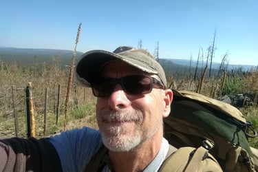
Ed Holloway
Background
About SW Drone Services: Your Certified Aerial Experts in the Gila Valley
Welcome to SW Drone Services. I am proud to launch a specialized drone business right here in the Gila Valley of Southeast Arizona, providing advanced aerial solutions to the area.
About SW Drone Services
SW Drone Services is a professional unmanned aerial vehicle (UAV) operator based in the Gila Valley of Southeast Arizona.
Qualifications & Technical Background
FAA Certification: I hold an active FAA Part 107 Remote Pilot Certification, earned in early June 2026.
Land Management Experience: I have a formal background in Range Management and Wildlife Management, alongside personal experience as an avid hunter. This provides me with a practical understanding of local terrain, vegetation, and land use.
Mapping Expertise: I have advanced experience in Geographic Information Systems (GIS) and other platforms allowing for precise spatial data processing.
Practical Drone Applications
Equipped with high-resolution camera sensors, modern drones offer practical utility across multiple industries. I can provide data collection, imaging, and mapping for Ranchers, Farmers, Conservation Groups, Contractors, Utility Companies, Realtors, and private property owners.
Available technical and creative capabilities include:
Photogrammetry & 2D Mapping: Generating accurate, scaled topographies and land characterizations.
3D Modeling: Creating digital reconstructions of structures, stockpiles, or terrain.
Videography & Photography: Capturing clear aerial media for asset inspection, monitoring, or marketing.
I provide tailored services that help local industries save time, reduce costs, and see their property from an entirely new perspective. I specialize in helping:
Farmers & Ranchers: Range monitoring, crop health checks, and livestock tracking.
Contractors & Utility Companies: Construction site progress tracking and structural inspections.
Realtors & Property Owners: High-end marketing videography and property boundary lines.
Conservation Groups: Habitat mapping and wildlife population monitoring.
Whether you need a high-density 3D model, a precise 2D topographic map, or stunning promotional video footage, SW Drone Services can help you.
Ready to see how aerial data can optimize your next project? Call SW Drone Services today, and let’s discuss how a custom map, model, or video can work for you.